Saluda & Reedy River Crossings
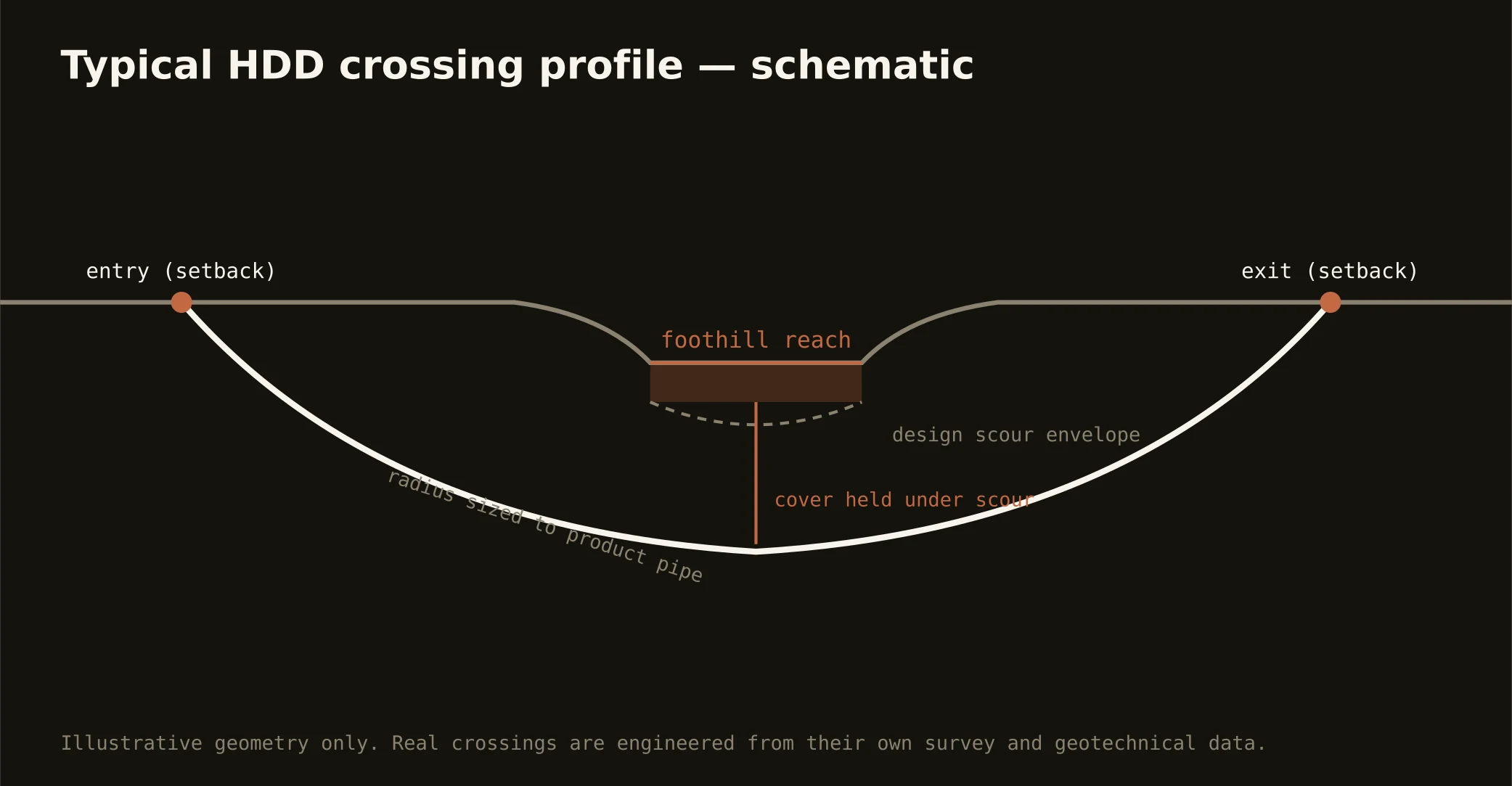
The Upstate's rivers wear their history: the Reedy pours over its falls through the park that rebuilt downtown — a river the city treats as its living room — and the Saluda gathers the mountain's water past a rosary of mill dams and ponds, the textile era's hydraulic skeleton still strung across the metro. Crossing them is the signature Upstate bore: profiles set below beds that run rocky on the gradient, mill-pond reaches carrying dam-owner and impoundment logic, downtown's river treated with its renaissance manners, and state stream machinery on every crossing. The dams are the local wrinkle — century-old structures with owners, pools, and drawdown calendars that join the plan wherever a crossing touches their water.
The reservoir country scales the doctrine: Hartwell's federal world along Anderson's shore runs the Corps' shoreline machinery and pool rules, the utility lake chain in the Keowee country carries its operator's licensing world, and the mountain lakes above run at watershed-protection grade. Our quotes name the actual stack for the actual water — a mill pond, a federal pool, and a falls-park reach are three different permits wearing one river's name.
Technically these crossings read the gradient at its wettest: weathered-ground approaches over rock that rises toward the channels, corestone honesty in the foothill reaches, and fluid discipline at mountain-water grade — containment both banks, monitored returns, and the response plan written before the pilot turns.