How Directional Drilling Works in Upstate Ground
The gradient: rolling south to the mountain wall
The Upstate's geology follows its slope: across the rolling south and the urban terraces, crystalline rock weathers deep into red, workable ground with depth-to-rock as the standing question; toward the Blue Ridge front, the cover thins, fresh rock rises fast, and corestones — rounded boulders of unweathered granite and gneiss floating in the soft ground — multiply where the escarpment's edge kept the weathering shallow. Gradient quoting names your place on the climb, verifies depth where it matters, and carries corestone terms in daylight — because the wall at the metro's back door writes conditions the surface never shows.
The manufacturing belt and the mill inheritance
Two industrial eras share the map. The current one: the I-85 auto-and-advanced-manufacturing corridor runs export-economy tempo — plant outage windows, supplier-corridor uptime, and campus standards that make scheduling a design discipline. The first one: the textile era built the Upstate's original utility map — mill villages, pond dams, and hydraulic works strung down the rivers — and its renewal districts, heritage structures, and congested old corridors are standing scope on urban work. The desk prices both registers as themselves, with the calendars named before the footage.
The sequence, Upstate edition
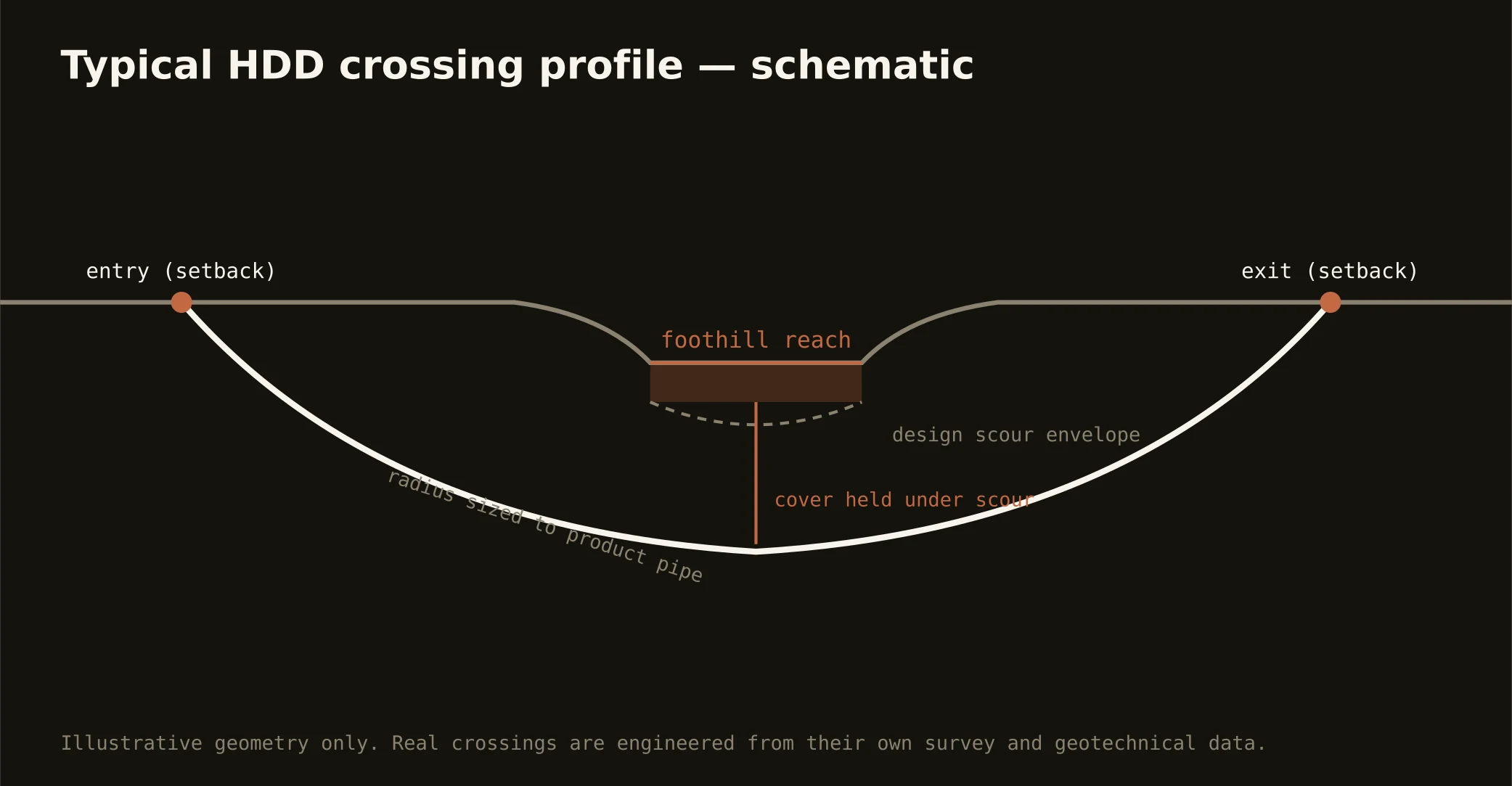
The bones are standard — locates plus private designating, potholes on every claimed utility, pilot on profile, ream to about one and a half times the product, pull, restore. Upstate bends: gradient tooling staged by the climb, corestone terms toward the front, mill-district pothole discipline in the old grids, dam-owner coordination on impounded reaches, watershed-grade fluid care under the mountain supplies, ice-season staging awareness, and restoration that treats renaissance blocks, plant campuses, and foothill lots as the different surfaces they are.
Who owns what you're crossing
The cities run their own ROW counters; four county departments cover the roads between; SCDOT permits I-85, I-385, and the state spines. The Corps governs Hartwell's shoreline world; the utility operator's licensing runs the Keowee chain; mill-dam owners hold their pools; state stream machinery rides every crossing; protected watersheds guard the supplies above; railroads permit the belt's corridors; and the plants keep their outage calendars. The quote names every owner on your alignment — here, the first questions are where on the climb and whose pond.
Straight answers
Will you hit rock on my bore?
Read the gradient: rolling-country profiles ride deep weathered ground with rock at verified depth; foothill profiles meet rising fresh rock and the corestones the front scatters; and the channels bring rock shallow wherever the rivers cut. The quote names your place on the climb and the verification plan for it.
How deep do bores run under Greenville streets?
Cover follows the owning authority's standard and sits below everything potholed on the alignment — with river and reservoir crossings running to their authorities' criteria and mill districts adding congestion-driven care. The plan states your number and the climb's expectation at it.
Do the old mill dams really affect utility crossings?
Where their pools do: an impounded reach carries the dam owner's interests, pool elevations, and sometimes drawdown calendars into any crossing plan — a century-old structure is a neighbor with rights. It's coordination rather than obstruction, and naming the owner at scope is free; meeting them at mobilization isn't.
Ready to put a number on a real crossing? Send the scope — a person prices it.